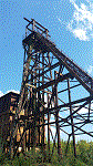

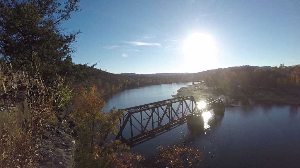
First up the abandoned rail line over by Eureka:
I first found the bridge just by simply following rivers on google maps
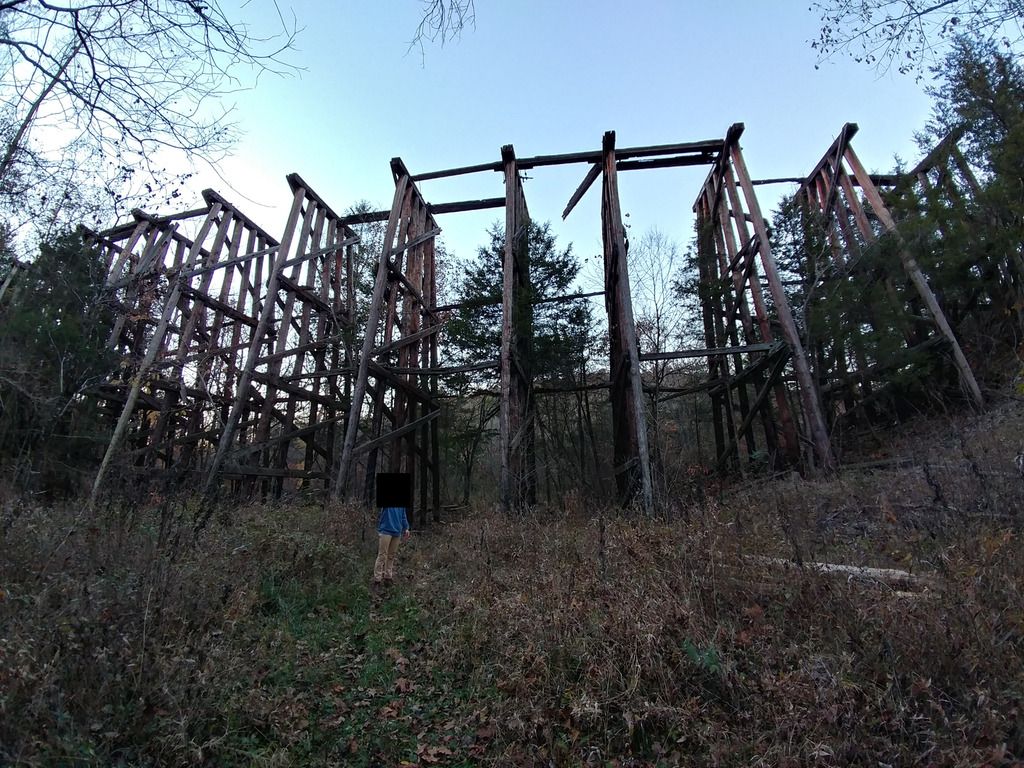
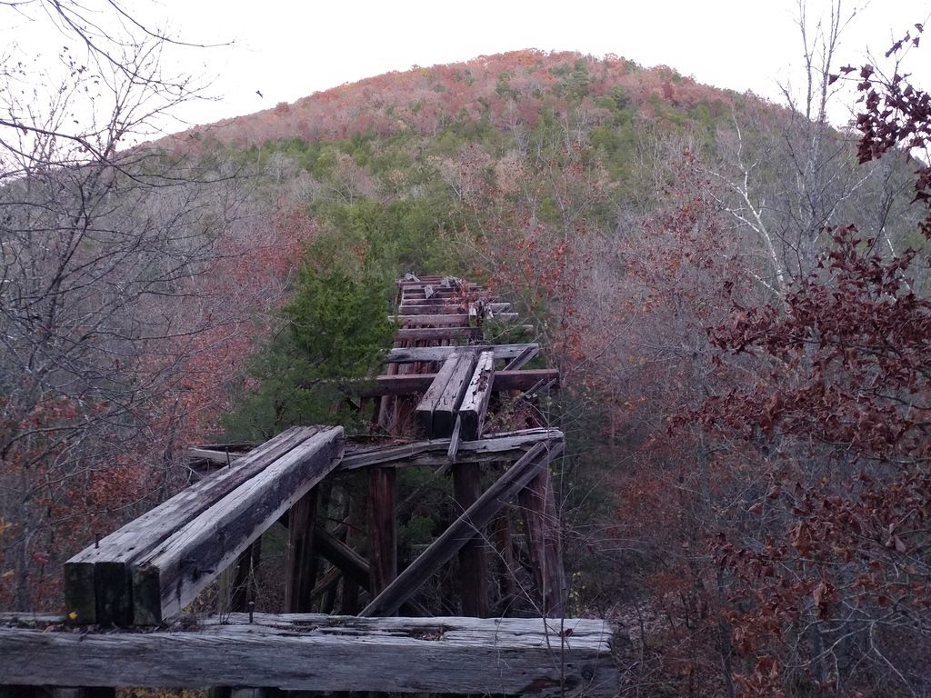
I then followed the old tracks on google maps to see if there were any other cool features and found this trestle
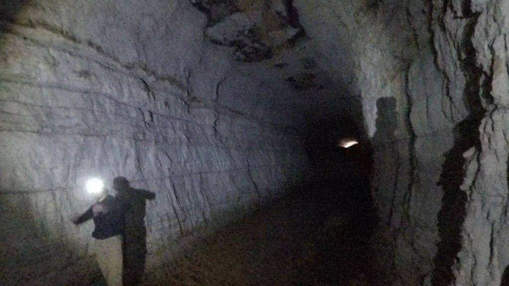
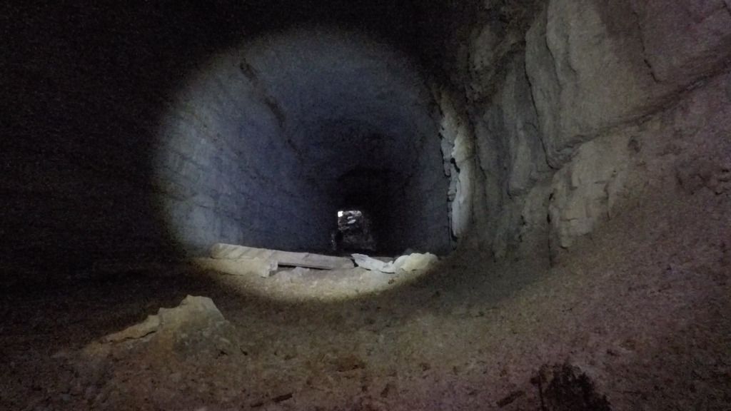
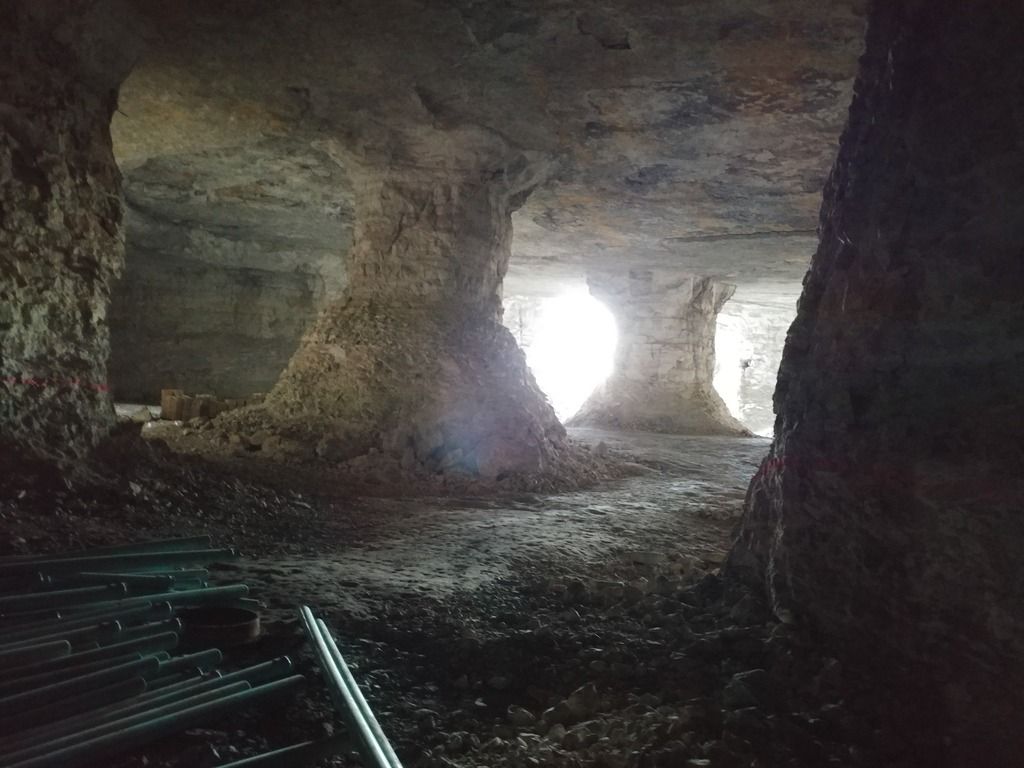
and the tunnel. I had also read about the tunnel on here. It was definitely the coolest part on the tracks in my opinion. If you are new to the site and trying to find some easier underground locations to begin with I would suggest starting with this one. It's fairly easy to locate and it is worth the trouble. (If you PM I will give hints.) The hike in alone was cool enough. The tunnel was pretty straight forward, no cave systems branching off or anything. Just a very muddy abandoned train tunnel:
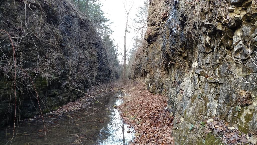
the old rail bed leading up to the tunnel
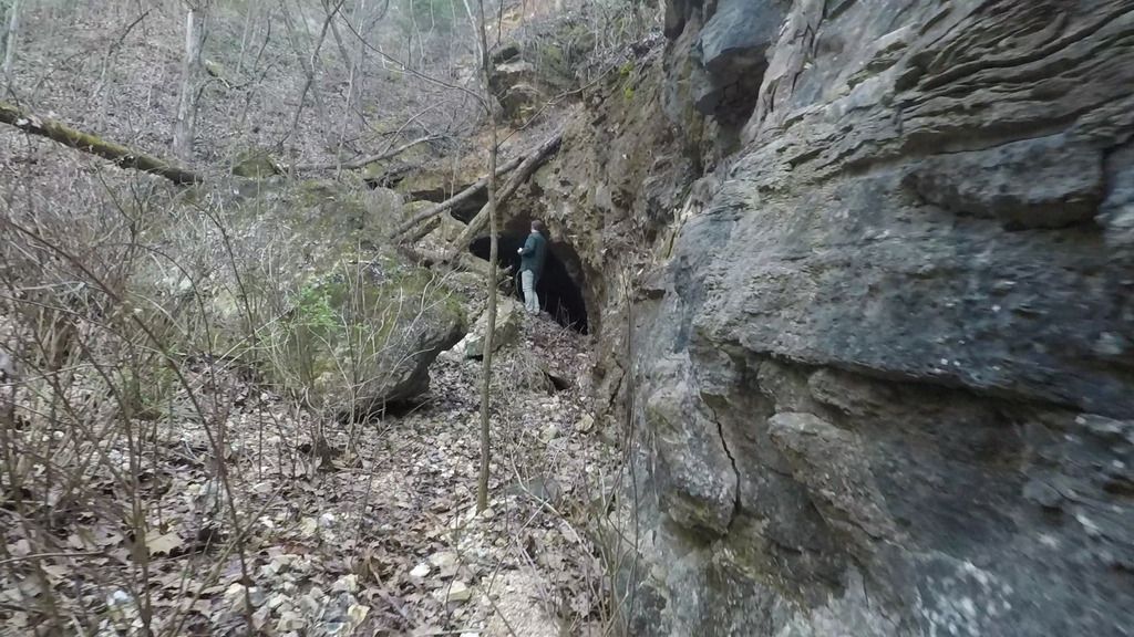
coming up on the tunnel
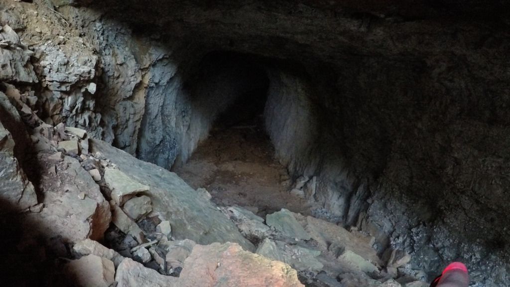
looking in
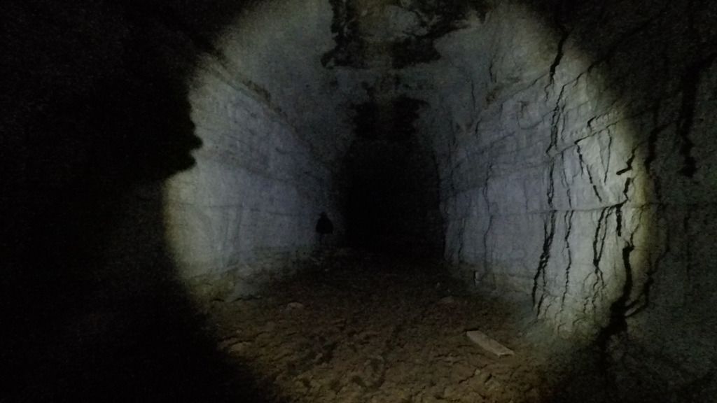
heading into the tunnel
as far as you can go without getting wet
heading back out
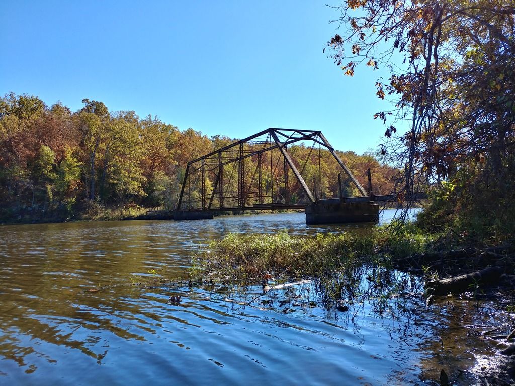
Nothing crazy here just a cool abandoned bridge in Greenwood:
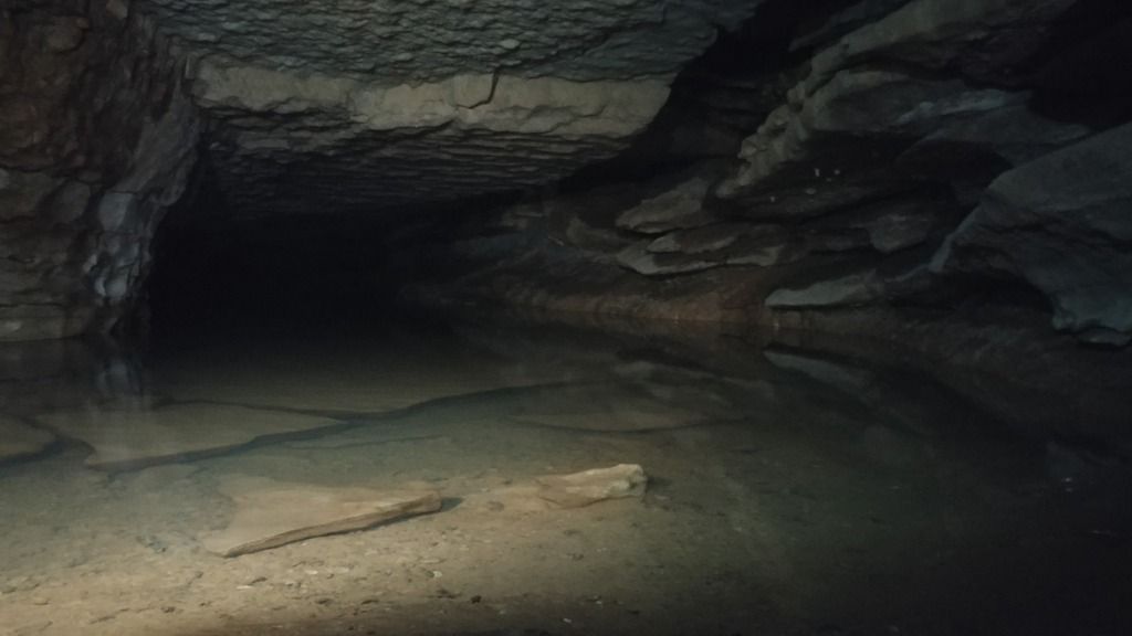
On to my next find; 0-mtn. This one was very cool to locate. I read about it on the forums here and I finally tracked it down. (to the veterans, I realize this is not the main system of 0-mtn with the lake, I will be checking that out soon, this was just the safer option to get a feel for the place.) It was a moderately difficult find since I didn't find any coordinates or solid clues on here:
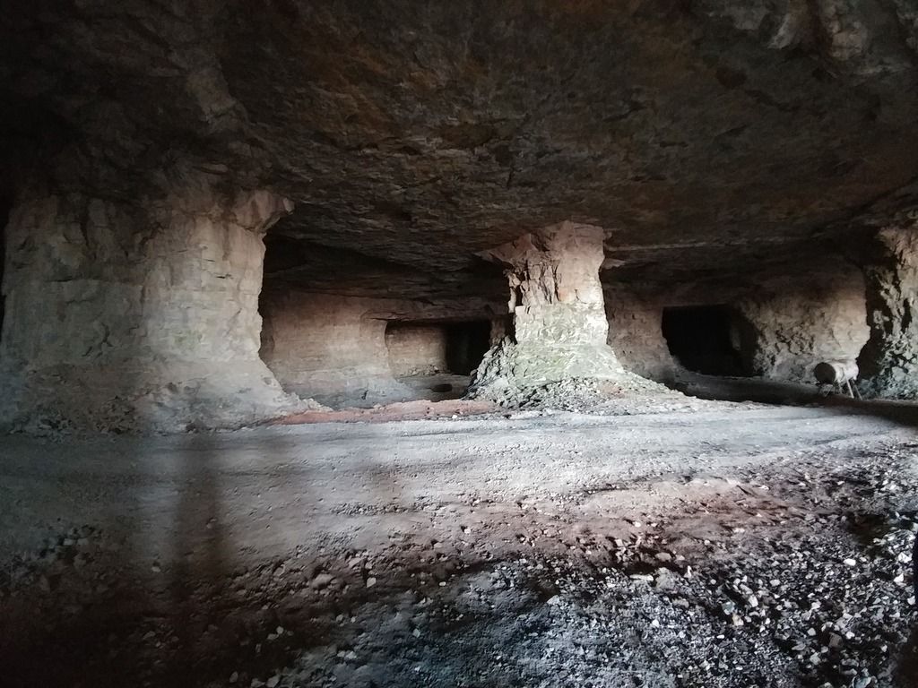
looking in
looking out
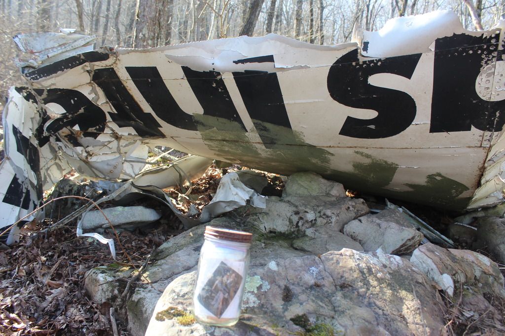
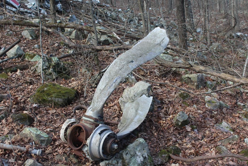
Next up is Texas International 655. I read multiple threads on here about it and set my sights on it. Tips on finding this would be to do some searching on the internet and odds are you can find some coordinates. I think there might actually be a thread with the coords on here but I'm not positive. Be ready for a hike on this one. I came up from the south side and it was tough. I can't say for fact that coming in from the north side is better but I really can't see how it would be worse. Anyways, here's some pics

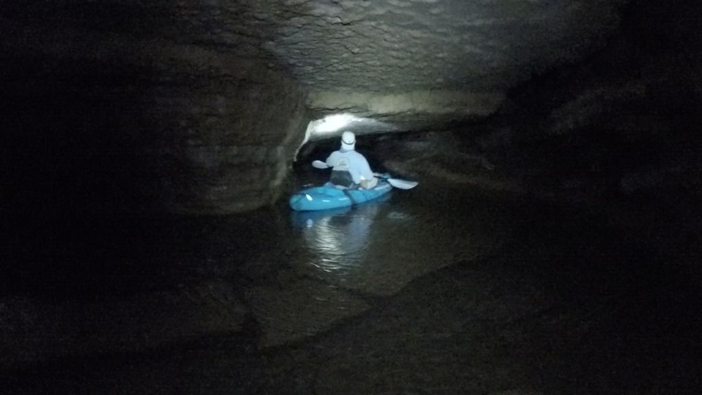
And my latest find; Pine Creek Cave. I actually found this on accident in search of the infamous Whippoorwill. On google maps, I found a place where a stream appeared out of no where and knew that obviously meant a spring and decided to give it a shot. I was very pessimistic about my chances but I went and it turned out to be a cool cave system with two different sections. The bottom section had a nice little river running through it. I explored around and realized that to go further I had to either bring a kayak or get wet. So instead of wading, I brought a kayak and a couple of buddies. We took turns paddling through the underground "lazy river" and went about 600 feet back until we couldn't make it any further by water. It was pretty awesome kayaking in a cave. The upper portion featured a decent amount of winding passageways and a very cool waterfall room. Now for some pics:
bottom section of cave system where we first put the kayak in
kayak is off
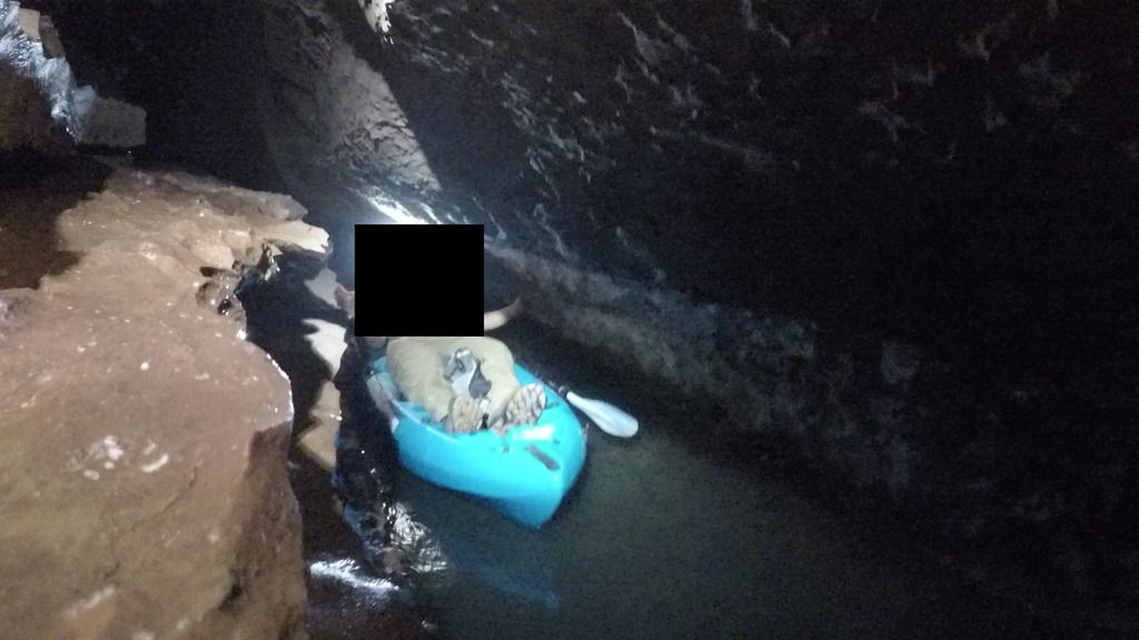
going where no kayak has gone before (I assume)
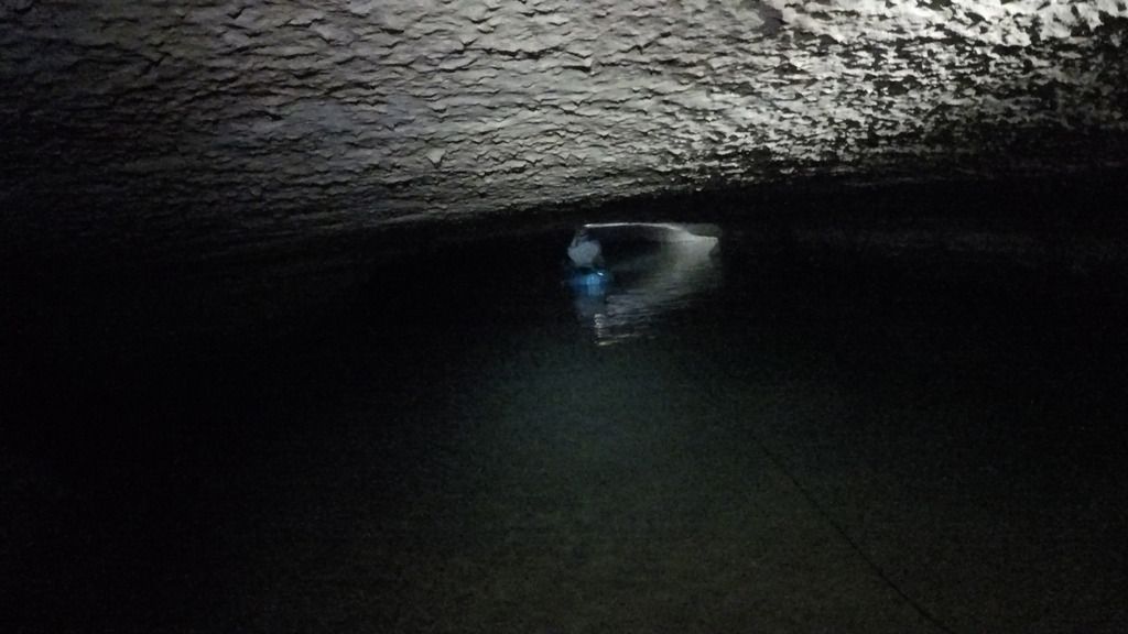
pretty sizable body of water
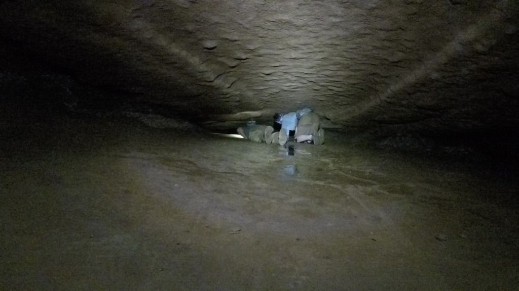
upper portion of cave system: exploring on our own limbs instead of a kayak (not as comfortable)
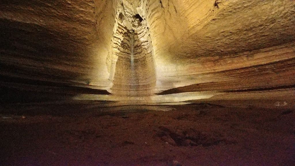
upper portion of cave system: waterfall room
These are my finds so far. Feel free to comment with any tips for photography, advice on how to make future posts better or just general comments. I am a greenhorn on this site, and urbex in general, so advice is appreciated.
Also if you want to know how to get to any of these places feel free to PM and I will be glad to give hints. I like the idea of having to do a little searching on your own to find places. It makes the discovery so much more enjoyable. So because of that I can't guarantee I will just give out coords to anyone but I will give hints. HOWEVER, I also like the idea of trading coordinates so if you have some coords that I want and I have some that you want then I'm sure we can make a trade.
-gnomad1 over and out-
*if there are any guests viewing this and you have tried making an account on this site but you're not getting a confirmation email, try using a different email. I tried using gmail for the longest time and it would never work. I switched to a yahoo and then boom. So if anyone has tried to make an account but faced that problem, just try switching emails.