Y Bridge flood gage data (Edit: I'm pretty sure the USGS is continueing to refresh the data on this graph)

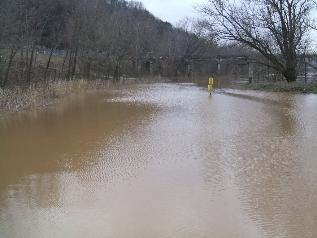
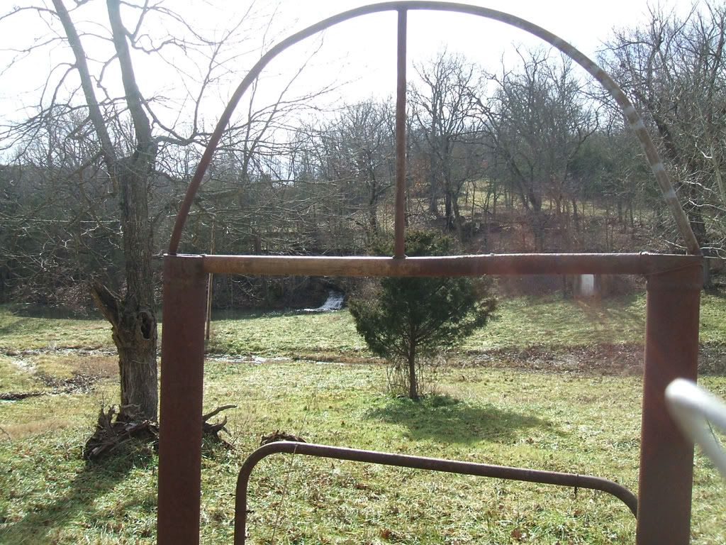
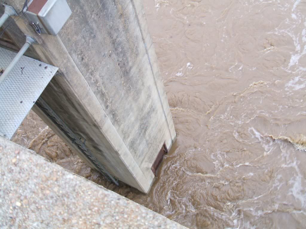
Looking at the flood gage
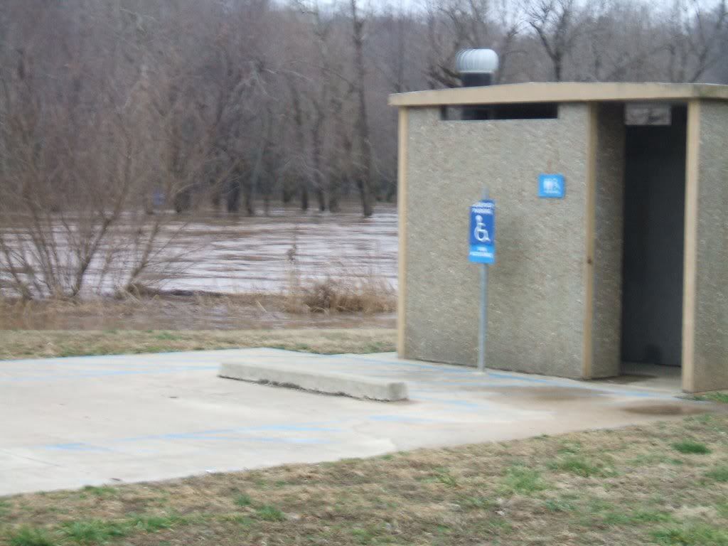
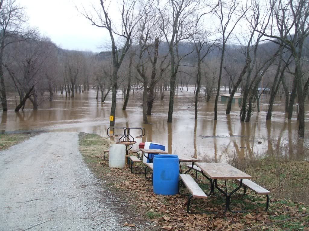
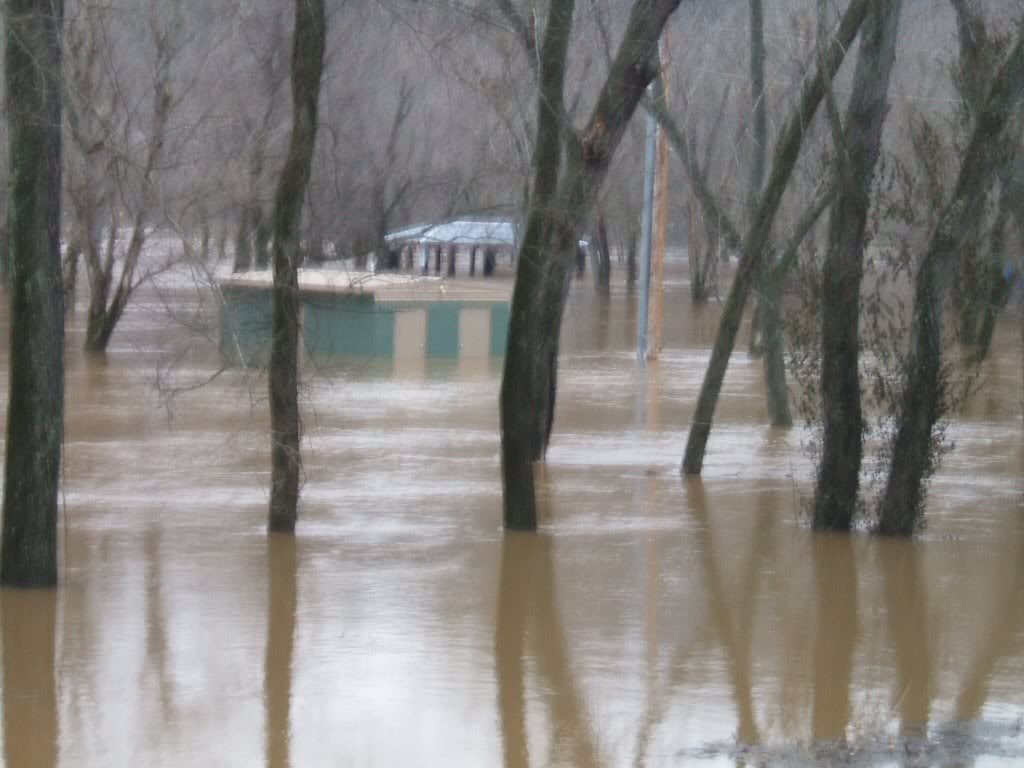
Base of the Y Bridge
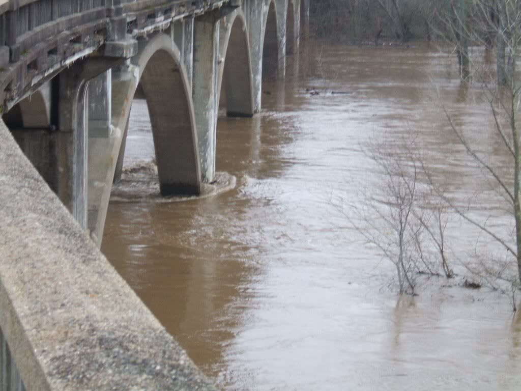
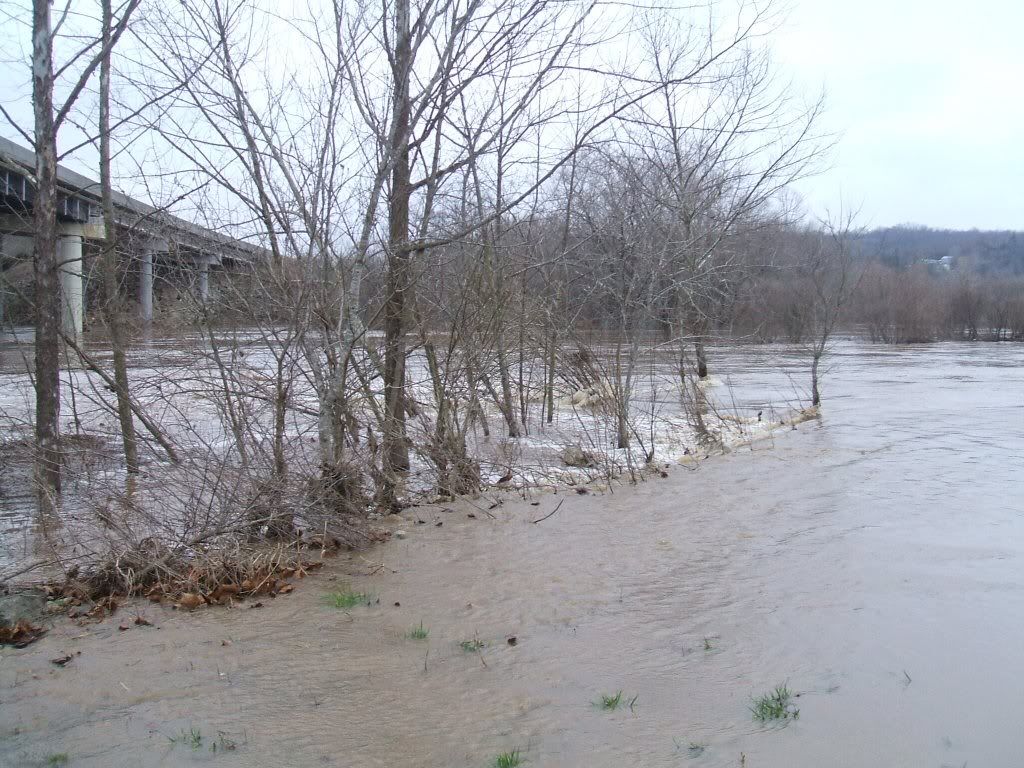
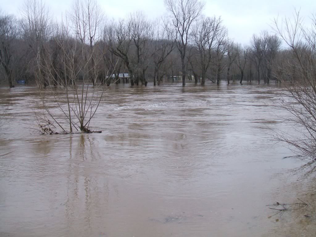
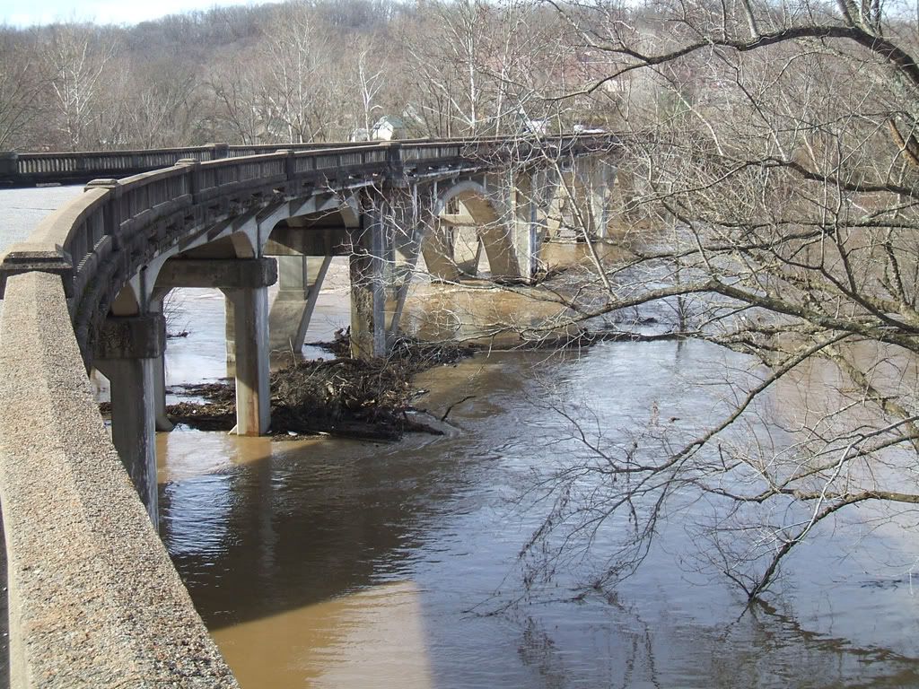
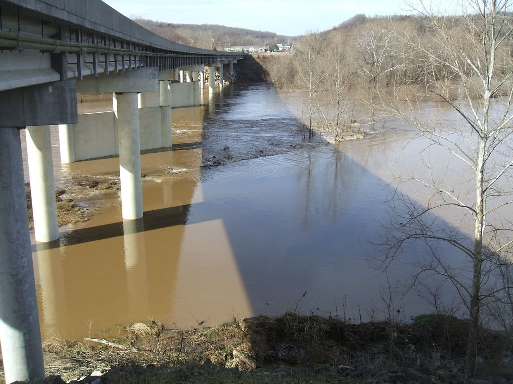
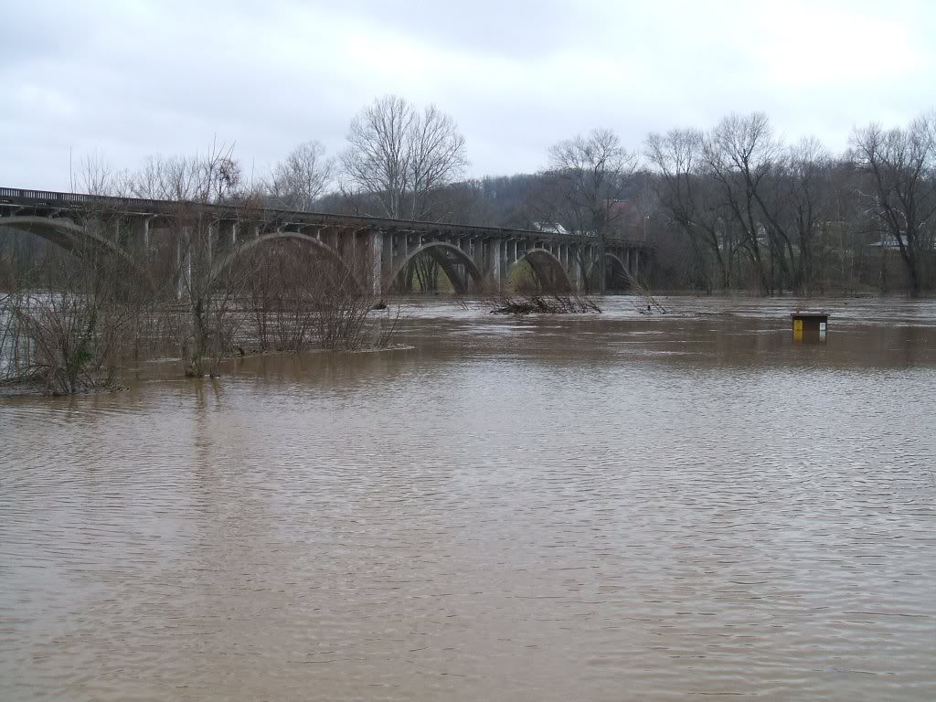
Looking upstream from the Y Bridge to the current bridge
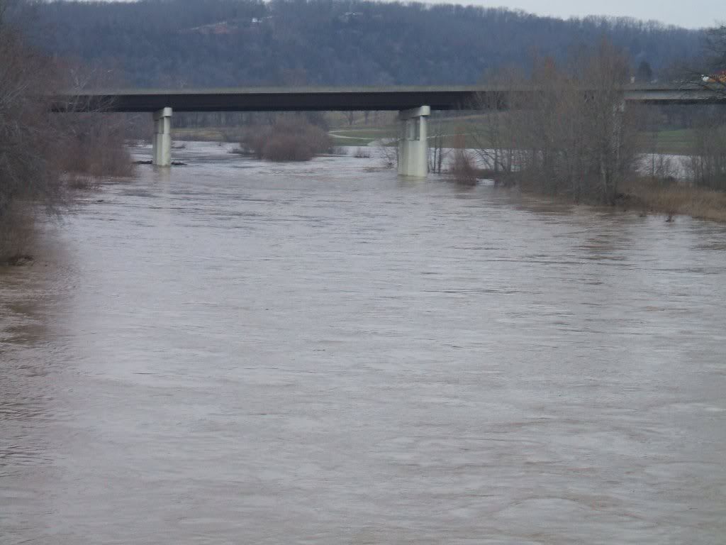
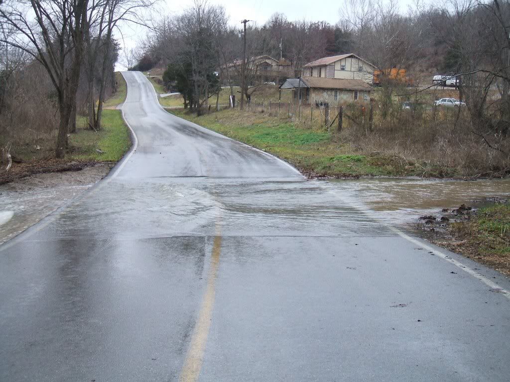
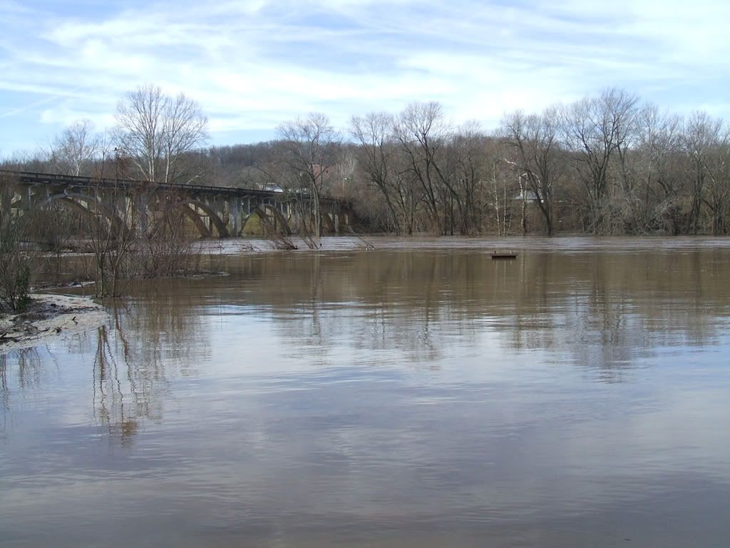
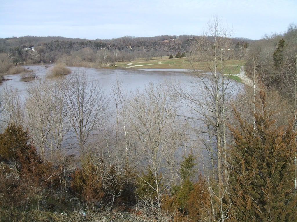
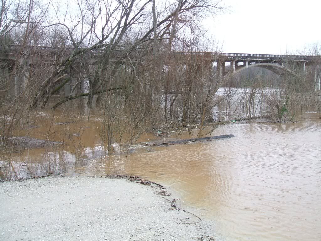
Y Bridge from river access road
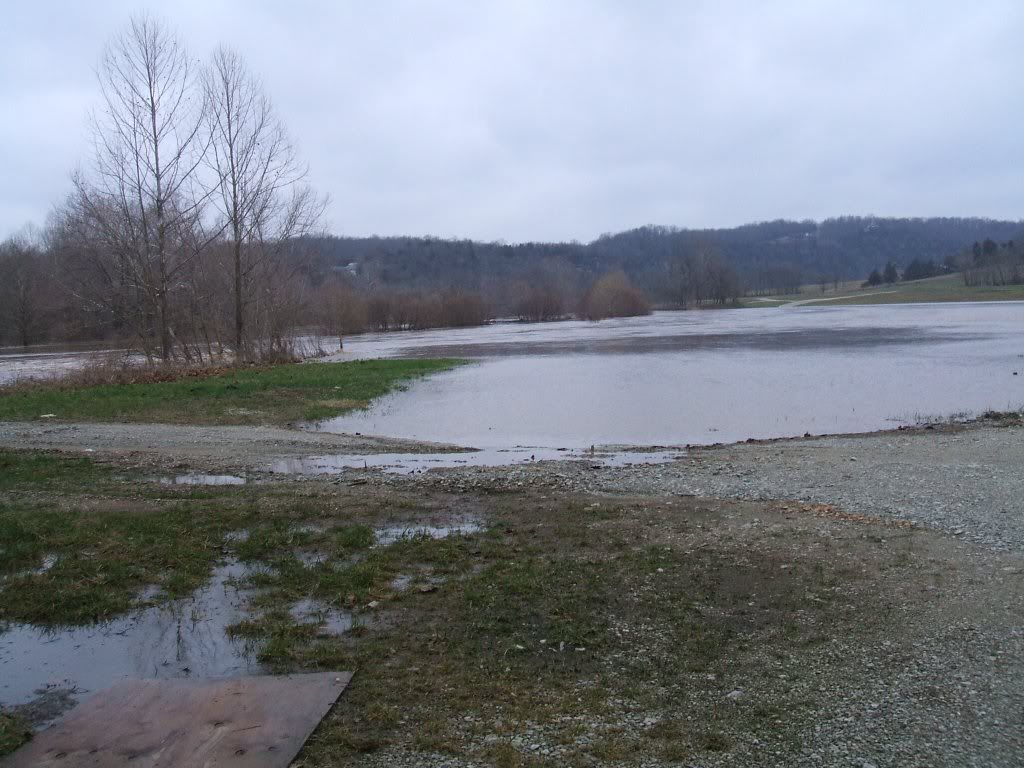
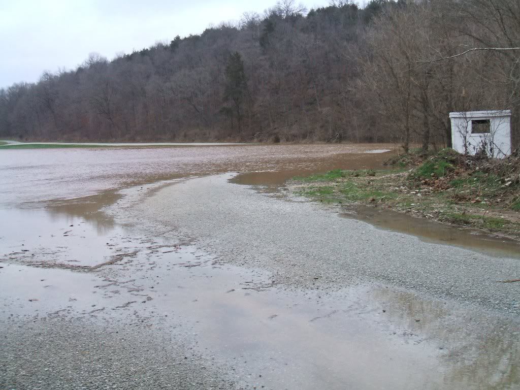
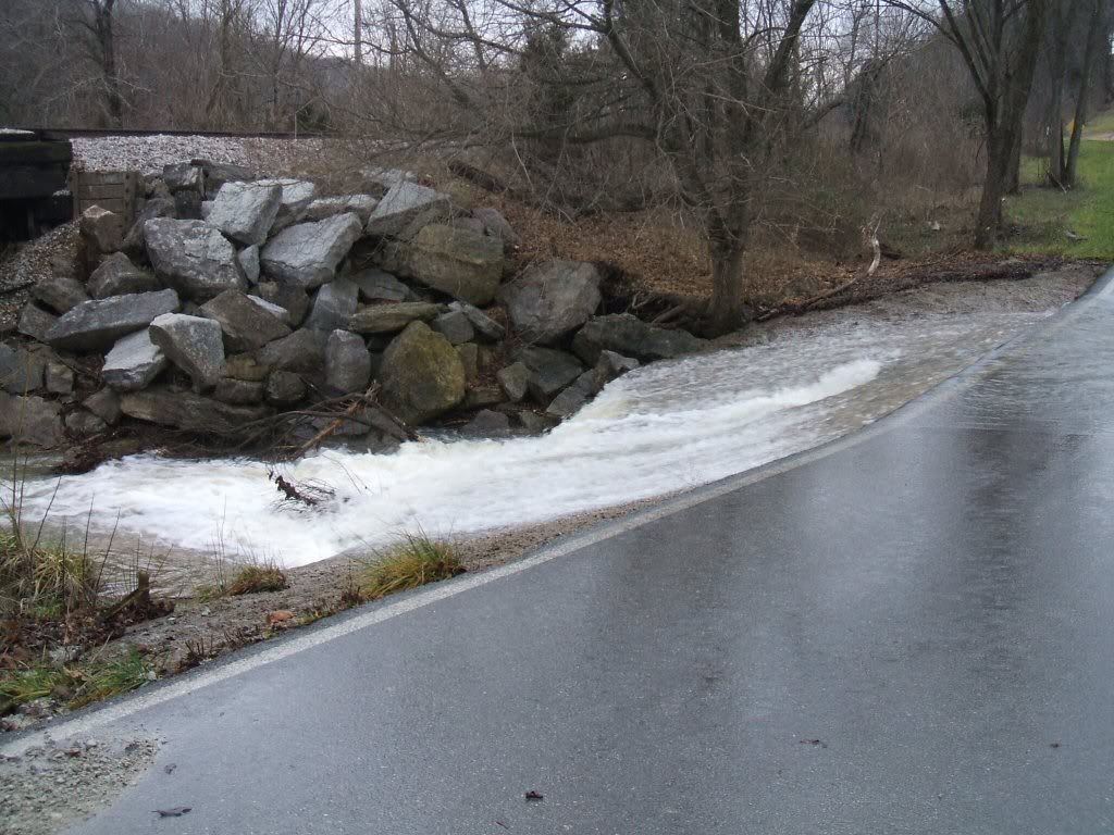
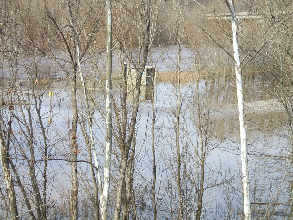
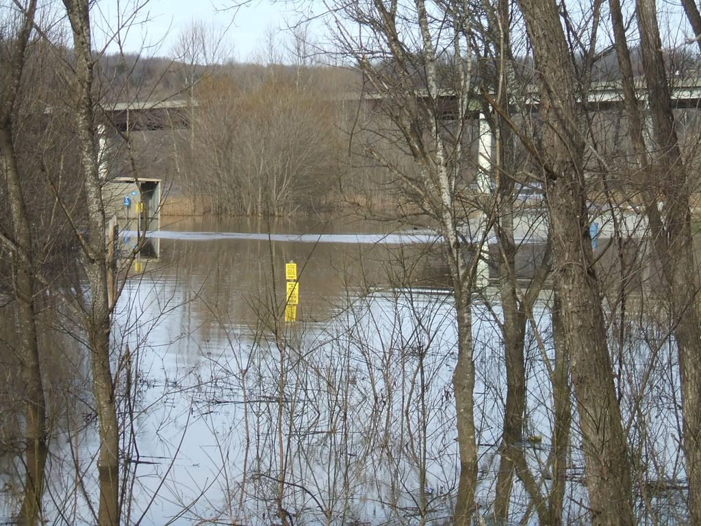
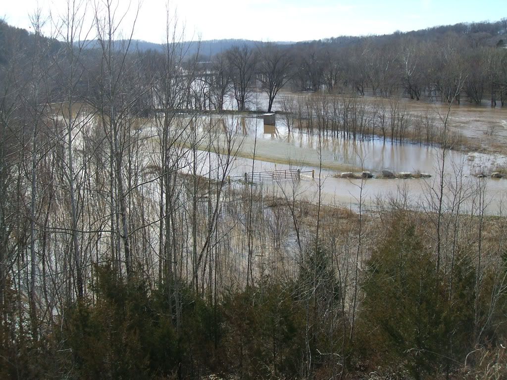
The Y Bridge River Access... on a island or a pennisula?
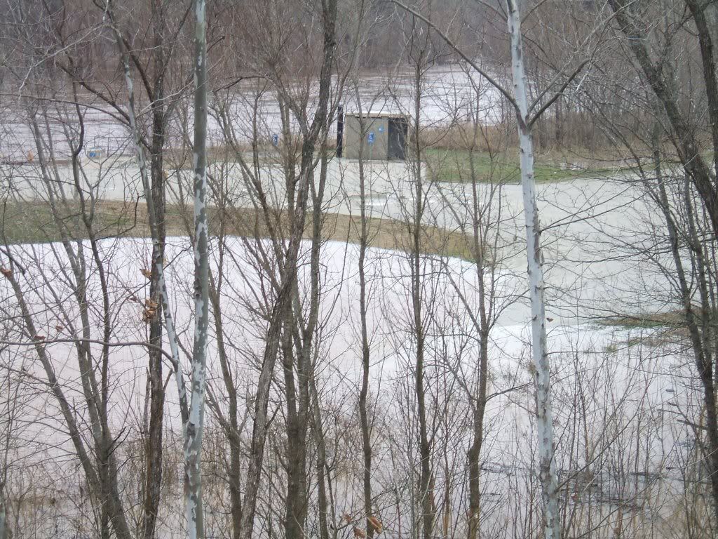
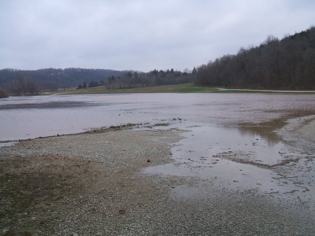
Pennisula - took some hiking to get down there though